
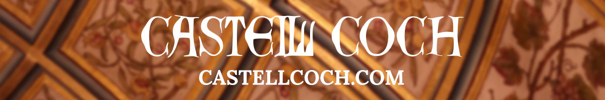
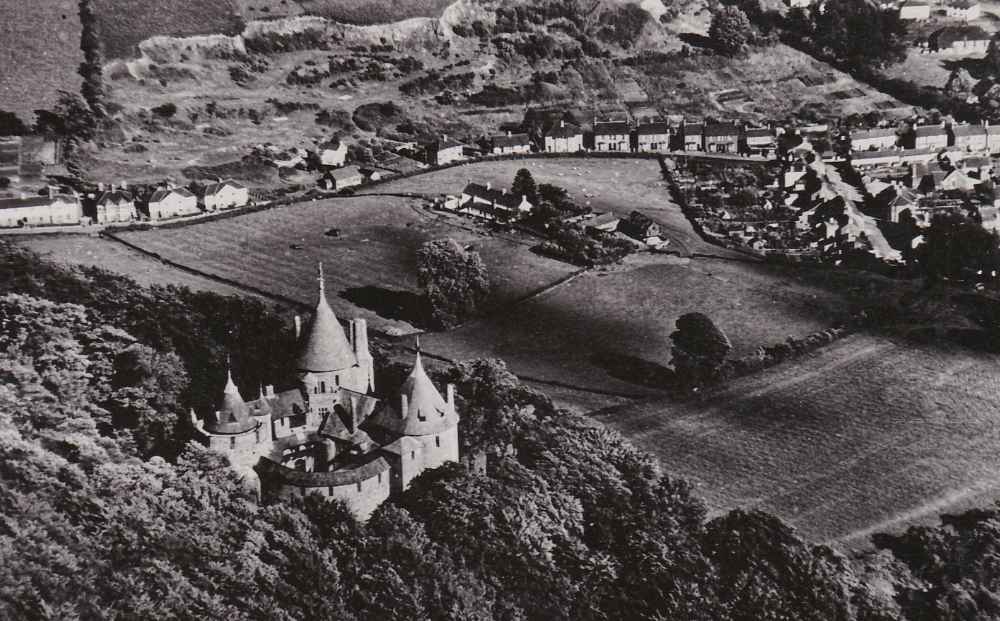
I have another fantastic image from Tempest Postcards by Terence Soames. This card features an aerial photo of Castell Coch overlooking the village. It wasn’t posted so I had to do some more detective work.
Terence Soames worked for Tempest in the 1950s and H. Tempest Ltd moved from Nottingham to Cornwall around this time. I’ve found some similar postcards dated from the early 50s so I’m confident this is the approximate age of the card.
The land behind Castle Road/Mill Road, which is now Castell Coch View, has some interesting terrain that’s now hidden by woodland.
The land below the castle, which was once a vineyard and is now Castell Coch Golf Course, has fewer trees and shows Castle Farm clearly.
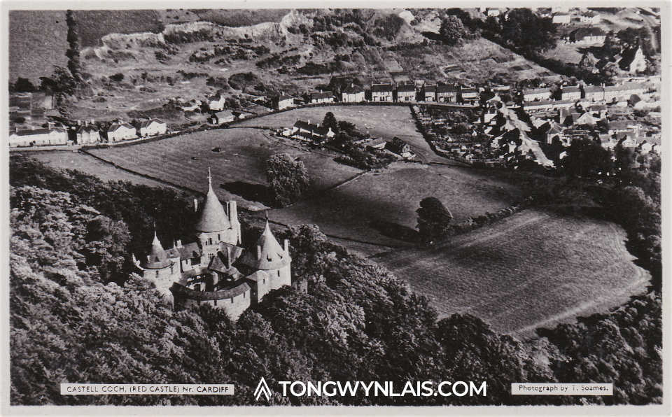
The design on the back of the postcard is identical to several examples I found posted between 1951 and 1953.
Castle Road and Castle Farm
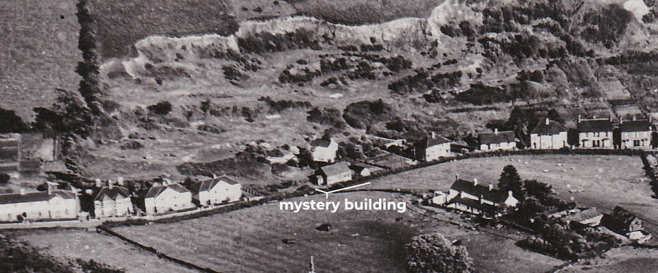
This close-up shows the houses to the left of Castell Coch View, Castle Farm, the Mill House and another building I’m hoping a reader can identify. The mill was a three storey building located behind the Mill House. There were also some kennels but these weren’t beside the road.
Mill Road and Wellington Street
This crop shows the old primary school off Wellington Street and, what look like, allotments behind Mill Road. The surgery and St Michael’s Close have yet to be built.
24 Mill Road was Cliff Davies’ grocery shop. I have some fantastic photos of the stores on Mill Road.

Related History
As always, if you have any information or corrections about this article, I’d love to hear from you.
Hello… You have asked a question of a mystery building and according to the OS map of 1948 publ. 1953 it is described as a ‘Hall’. I would expect your photograph to date after 1945 probably because of restrictions on aerial photography between 1939 and 1945. I couldn’t find the building on any earlier maps but I suppose the building could have been built for the war period.
Yes it was the 1st band hall which was pulled down and a new one built before it was also demolished so the access road for Castle Coch View could be built. The band hall was replaced with a new building on the left of the access road to Castle Coch View which is now the Plymouth Brethren Chirch
Hi Jack, a great picture. The mystery building would be the original Band Hall. It stood where the entrance is to Castell Coch View now. Demolished late 70s when that area was developed and a new hall was built.
Carol
I believe that the mystery building could be what was known as the Band Hall, I lived in Greenmeadow Drive and went to Tongwynlais school.