

I covered local walks in the first instalment of this series. In this post I’m going to share some information about two of the biggest Welsh walks that pass through the area and some signs you’ll see on the trails.
I’ve included some basic information about the different types of routes you’ll encounter.
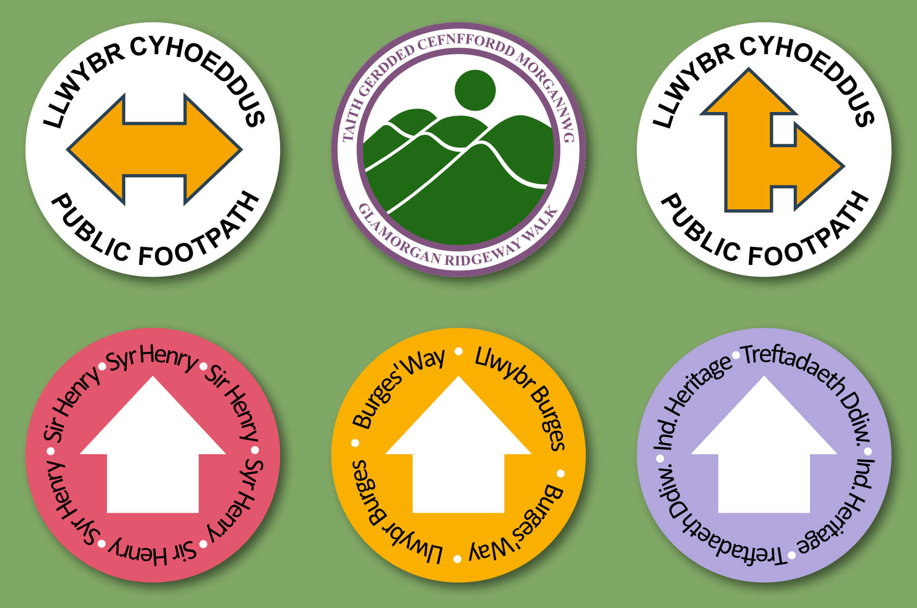
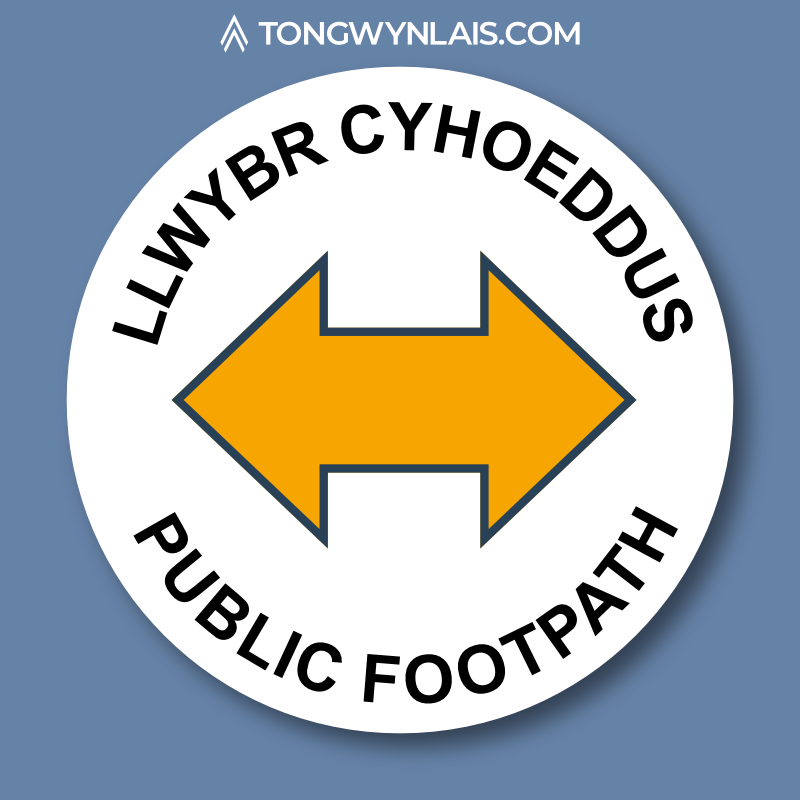
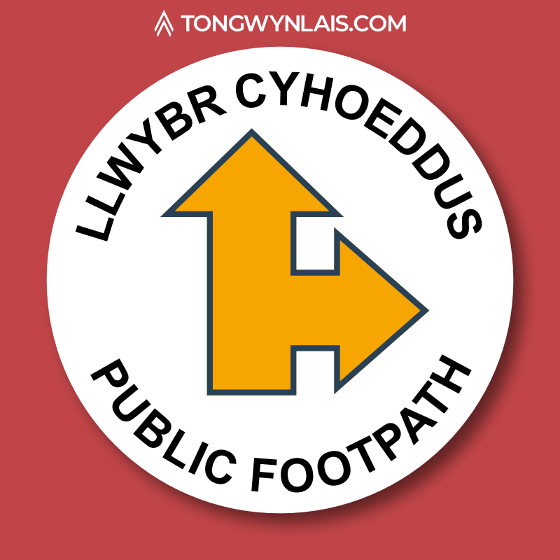
Public Footpaths
These yellow arrows mark public footpaths. These routes are open to all but may have kissing gates or stiles and not be suitable for all walkers.
Bridleways
Bridleways, or bridle paths, are marked with blue signs. These are routes that were originally created for horse riders so they’re often wide and don’t have stiles.
These routes are open to walkers and cyclists too.


Byways
Restricted byways are marked with purple arrows. They’re open to the same groups as bridleways with the only addition being horse-drawn vehicles.
There’s a special type of byway marked with a red arrow. “Byways open to all traffic” (BOATs) allow access to motor vehicles.
Cambrian Way
“An adventure on foot through the mountains of Wales from Cardiff to Conwy.”
The Cambrian Way is a 300 mile walk from Cardiff to Conwy. The route passes through Tongwynlais so you might come across the distinctive Welsh hat symbol.

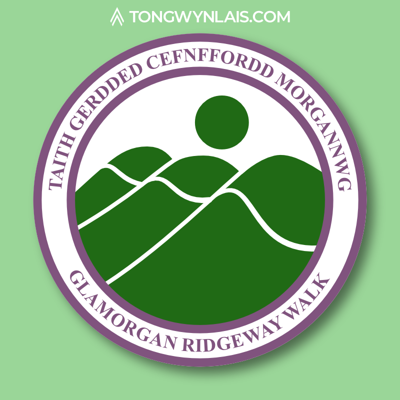
Glamorgan Ridgeway Walk
The Glamorgan Ridgeway Walk is a 27 mile route linking the Coed Morgannwg Way and the Taff Ely Ridgeway Walk.
There’s a PDF guide on the Rhondda Cynon Taff Council website that has some more information. I’ve created a map to show the full Ridgeway walk and the first section of the Cambrian Way.
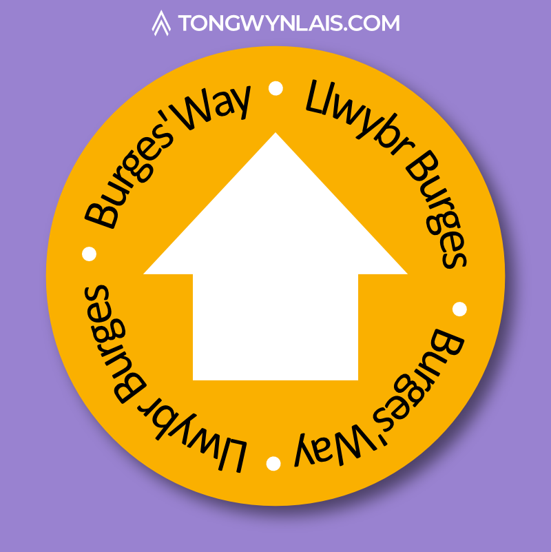
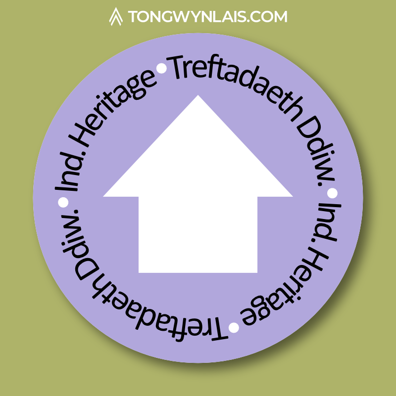
Fforest Fawr
These are a few named routes in Fforest Fawr. I wrote about Sir Henry’s Trail and Burges’ Way in part 1.
Each walk has its own trail sign so you can follow the route easily.

Are you a regular rambler or recurrent runner? What’s your favourite route? I share photos from my walks on Instagram and Facebook.